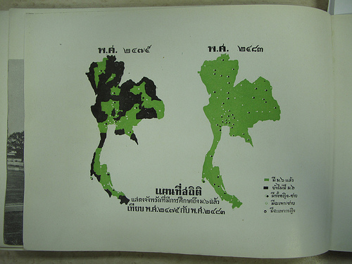
Thailand Maps
Not only is the elephant Thailand’s national symbol, if you blur your eyes a bit you’ll see that Thailand is roughly shaped like an elephant’s head. The northern area makes up the elephant’s face and ears, while the slim south is the trunk. Can you see it?
 In general, it’s not difficult to find maps of Thailand; most tourist destinations within the country will have a handful of privately-created maps available for free. Guesthouses, travel agents, and activity directors usually publish or have on offer some form of a local map. The Tourism Authority of Thailand (TAT), Thailand’s government-run tourist sector, produces maps of both cities and the country. Their head office is in Bangkok, but they have offices throughout Thailand as well as in New York City and Los Angeles.
Far and away the best maps for Bangkok and Chiang Mai are Nancy Chandler’s. These colorful, illustrated maps serve as sort of a reverse guidebook: rather than finding a place in a book and then looking it up on the map, you spot it on the map first. Included are detailed maps of not just the cities, but destinations such as the Chatuchak Weekend Market and Chiang Mai’s Night Bazaar. You’ll find interesting information mapped, such as where to find local handicrafts, for example, or the location of a fresh juice bar.
All guidebooks will have maps of the country and important cities, and many should also have transport maps of Bangkok.
More information on getting to and around in Thailand:
[Photo credit: Arthit, Flickr]